| NWS Local Storm Reports |
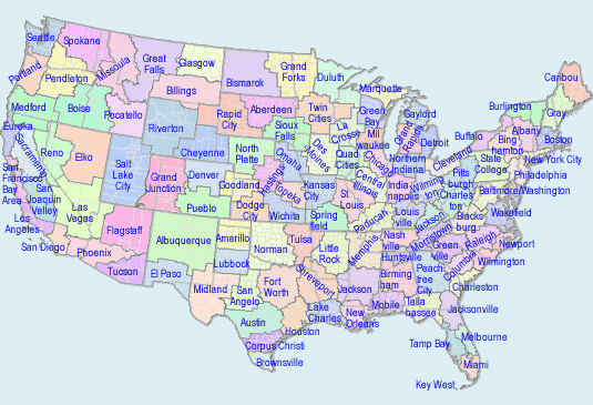
To Select Another NWS Office Click on Map or Choose from List

|
| Reports not found at this time. Check back later. |
| Dallas/Fort Worth TX 4 storm reports |
| 6 MILES EAST-NORTHEAST OF Malone | |||||
| Tornado A tornado formed just northwest of Navarro Mills Lake, just east of the Navarro/Hill County line. Damage near this initiation point was confined to split tree trunks consistent with EF-0 intensity windspeeds. The tornado tracked east-northeastward, causing tree damage and impacting multiple residences and outbuildings in areas between FM 744 and Navarro Mills Lake. Most of this damage was EF-0 to low end EF-1 in character, consistent with windspeeds of 75-95 mph. Damage was mainly associated with roof and fascia damage on the residences and significant sheet metal damage on outbuildings. However, one manufactured home was totally destroyed on Navarro County Road 3091, consistent with EF-1 winds estimated at around 110 mph. The tornado crossed FM 744, and dissipated just northwest of the Dresden community. |
|||||
| DATE 04/26/2024 |
TIME 1:30 PM |
COUNTY Navarro |
STATE TX |
SOURCE NWS Storm Survey |
GEOGRAPHIC 31.95N 96.80W |
| 2 MILES SOUTHWEST OF Barry | |||||
| Tornado A tornado formed approximately 2 miles southwest of Barry in open country, based on storm spotter video and eyewitness reports. This tornado moved north and northeast of Barry, impacting several residences and outbuildings along Navarro County roads 1210 and 1230. Most of the structural damage was confined to roofs and outbuilding sheet metal and was consistent with damage intensities of EF-0 and lower end EF-1 magnitude. However, one manufactured home along CR 1230 was totally destroyed, consistent with EF-1 winds of approximately 110 mph. The tornado traveled several additional miles to the east, passing north of Emhouse and producing EF-0 damage to trees and outbuildings. This tornado eventually dissipated in the Chambers Creek drainage west of Rice. |
|||||
| DATE 04/26/2024 |
TIME 1:48 PM |
COUNTY Navarro |
STATE TX |
SOURCE NWS Storm Survey |
GEOGRAPHIC 32.08N 96.67W |
| 3 MILES WEST-SOUTHWEST OF Rice | |||||
| Tornado A citizen captured a video of a brief tornado which formed west of Rice, Texas. The tornado transited mainly bottomland/wetland areas of Cummins Creek, resulting in minor tree damage. This tornado dissipated northwest of Rice, prior to crossing Interstate 45. The tornado was rated EF-0 with maximum winds of 75 mph. |
|||||
| DATE 04/26/2024 |
TIME 2:19 PM |
COUNTY Navarro |
STATE TX |
SOURCE NWS Storm Survey |
GEOGRAPHIC 32.23N 96.55W |
| 1 MILE WEST-SOUTHWEST OF Frost | |||||
| Tornado A brief EF-0 tornado occurred west of Frost in far northwestern Navarro County. A grain elevator was impacted and partially collapsed along State Highway 22 west of Frost. The tornado crossed the highway and produced some EF-0 roof and garage door damage to several homes on the west side of Frost. The tornado dissipated just north of Frost. Maximum estimated winds were 80 mph. |
|||||
| DATE 04/26/2024 |
TIME 2:30 PM |
COUNTY Navarro |
STATE TX |
SOURCE NWS Storm Survey |
GEOGRAPHIC 32.07N 96.83W |