Select NOAA-NWS Forecast Office Text Products
(Product availability varies with seasons, forecast office, and weather.)
Hazardous Weather Outlook for Binghamton, NY
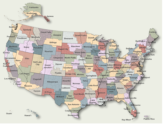
To Select Another NWS Office Click on Map or Choose from List
|
| Select Forecast Office: | Select Product: |
692 FLUS41 KBGM 280636 HWOBGM Hazardous Weather Outlook National Weather Service Binghamton NY 236 AM EDT Tue Jul 28 2026 NYZ045-046-056-057-062-PAZ039-040-043-044-047-048-072-290645- Chenango-Otsego-Broome-Delaware-Sullivan-Susquehanna-Northern Wayne- Wyoming-Lackawanna-Luzerne-Pike-Southern Wayne- 236 AM EDT Tue Jul 28 2026 ...FLOOD WATCH IN EFFECT FROM 11 AM EDT THIS MORNING THROUGH WEDNESDAY EVENING... This Hazardous Weather Outlook is for central New York and northeast Pennsylvania. .DAY ONE...Today and tonight. Please listen to NOAA Weather Radio or go to weather.gov on the Internet for more information about the following hazards. Flood Watch. Also, gusty thunderstorms are possible in the Wyoming Valley to the Poconos of Northeast Pennsylvania today. .DAYS TWO THROUGH SEVEN...Wednesday through Monday. Please listen to NOAA Weather Radio or go to weather.gov on the Internet for more information about the following hazards. Flood Watch. Flood Watch. .SPOTTER INFORMATION STATEMENT... Spotter activation is not expected at this time. $$ NYZ009-015>018-022>025-036-037-044-055-PAZ038-290645- Northern Oneida-Yates-Seneca-Southern Cayuga-Onondaga-Steuben- Schuyler-Chemung-Tompkins-Madison-Southern Oneida-Cortland-Tioga- Bradford- 236 AM EDT Tue Jul 28 2026 This Hazardous Weather Outlook is for central New York and northeast Pennsylvania. .DAY ONE...Today and tonight. Slow moving rain showers may produce locally heavy rainfall and lead to isolated flash flooding instances in urban and poor drainage areas today and Wednesday. .DAYS TWO THROUGH SEVEN...Wednesday through Monday. Additional rainfall Thursday may further enhance any hydro issues. .SPOTTER INFORMATION STATEMENT... Spotter activation is not expected at this time. $$ |
Previous Hazardous Weather Outlooks may be found at
NWS Binghamton, NY (BGM) Office Hazardous Weather Outlooks.
(Click 'Previous Version' there to view past versions successively.
Some may differ only in time posted.)
Products Courtesy of NOAA-NWS
NWS Information Parsing Script by Ken True at Saratoga Weather - WFO and Products Scripts by SE Lincoln Weather.
Mapping by Curly at Michiana Weather and by Tom at My Mishawaka Weather.